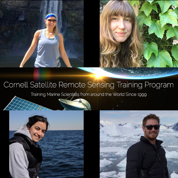
The Cornell Satellite Remote Sensing course took place June 3 – 14 in Ithaca, NY. The goal of the course was to teach participants the basic skills needed to work independently to acquire, analyze and visualize data sets derived from a variety of satellite sensors. The course also covered image analysis methods to work with satellite imagery of 1) sea surface temperature, 2) ocean wind speed, and 3) sea surface height.
OCB supported four students to attend the 2019 course. Read about the students and their experiences below:
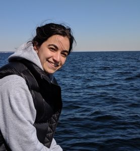 Alana Menendez is a 3rd year PhD student studying Earth & Environmental Sciences at the City University of New York, advised by Dr. Maria Tzortziou. Her current research uses optics to better determine source and fate of colored dissolved organic matter in the Long Island Sound. This work incorporates high spatial resolution satellite datasets to understand tidal processes occurring at river-wetland-estuary boundaries. Prior to her PhD studies, Alana completed her MSc also with Dr. Tzortziou, focusing on more accurately estimating lateral fluxes of dissolved organic carbon from a marsh to sub-estuary site along the northwestern shore of the Chesapeake Bay, using high temporal resolution datasets. She completed her undergraduate studies at Bowdoin College in Maine, having majored in Earth & Oceanographic Science.
The Cornell Satellite Remote Sensing Training Course was an amazing two-week opportunity spent with people from all over the world. Bruce is a fantastic teacher and person – the class was organized with a great balance between lectures, problem sets, and working on our own chosen study areas. I came away from the class feeling prepared to do more programming in Python and able to batch process satellite imagery from all my sensors of interest. The batch processing ability will allow me to work with more satellite imagery in my research because it is much more efficient than going through file-by-file in SeaDAS. Thank you so much to OCB for making this experience possible!
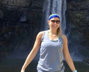 Anna Windle is a 1st year PhD student in Marine, Estuarine, and Environmental Sciences at the University of Maryland Center for Environmental Science at Horn Point Laboratory in Cambridge, Maryland where she is advised by Dr. Greg Silsbe. She will be using satellite remote sensing to improve bio-optical algorithms to better monitor chlorophyll and sediment in the Chesapeake Bay. She is also interested in the use of drone remote sensing to study harmful algal blooms. Prior to beginning her PhD Program, Anna graduated with a Master’s in Environmental Management from the Nicholas School of the Environment at Duke University where she used drones to study intertidal oyster reef habitat.
The course surpassed my expectations, allowing me to dive deeper into my research questions than before. I will undoubtedly use the knowledge I gained from this course for my PhD research and beyond. I would recommend the course for anyone remotely (pun not intended) interested in remote sensing. I thought it was a great introductory yet highly stimulating course that would improve any level of student’s remote sensing skill set.
 Bianca Broman is a thesis option Master’s student in Marine Resources Management at Texas A&M Galveston University, where she is a researcher for the Center for Texas Beaches and Shorelines. She investigates the biogeochemical and physical drivers of the movement and migration patterns of Sargassum seaweed blooms in the Caribbean using satellite observations. Her Bachelor of Science is in Geology, but she has since then turned her interests towards marine sciences, oceanography, and water quality monitoring. She is advised by Karl Kaiser, a Chemical Oceanographer in the Marine Sciences Department, and works in tandem with the Galveston Park Board in beach maintenance proceedings, education and outreach, and information sharing.
Where do I even begin? The knowledge gained during the two week course has made such a measurable impact on my research and my personal coding skills. Prior to the course, I had minimal to no coding experience, and throughout the course we gained basic to advanced skills in python programming, and learned background basics and uses in satellite imaging. This world of data availability in which we live can seem convoluted and overwhelming at times, but Bruce offered us clarity and guidance in navigating our satellite oceanography data management endeavors. He also creates a learning atmosphere that is friendly and relaxed, so learning feels effortless and it was easy to cultivate friendships. He invites us to feel connected to the NASA ocean color community and tells wonderful stories that add to the coursework. I felt overwhelmed with gratitude for the opportunity and privilege to participate in this enriching course. Thank you OCB and Dr. Monger. Your generosity towards me will not soon be forgotten.
 Jonathan Sherman is a 4th year PhD student in oceanography at Rutgers University. Advised by Dr. Paul Falkowski, his research focuses on the control mechanisms of photosynthetic rates and yields in the global ocean and the underlying biophysics. His research relies on shipboard measurements using custom-built fluorometers to assess phytoplankton photophysiology, and relate those measurements with satellite-based retrievals.
Participating in the Satellite Remote Sensing Training program at Cornell was an amazing opportunity for me. Although I had been using data from MODIS for some time, it was clear to me that my work flow was inefficient and was not utilizing the full extant offered from ocean color data. In two weeks, Dr. Bruce Monger was able to lay a strong theoretical and practical foundation to process ocean color data in an interesting and engaging manner. It was great to be part of such a diverse international cohort of participants who study ocean color for different applications and reasons. Dr. Monger and TA Celina Scott-Buechler did a great job setting up the participants for success in this field in general, while providing individual help with specific topics of interest. I thank them and the OCB for the opportunity.


