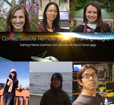
OCB supported early career participation in Cornell Satellite Remote Sensing class in June 2017.
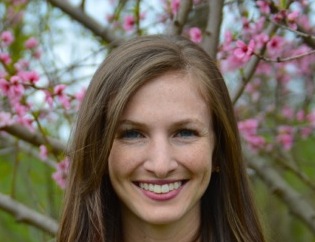 Nicole (Nikki) DeLuca is a third-year PhD student in the Department of Earth and Planetary Sciences at Johns Hopkins University, advised by Benjamin Zaitchik. Her work focuses on using ocean color remote sensing in coastal and inland waters, including the Chesapeake Bay and Lake Tana, Ethiopia. Her research interests in the Chesapeake Bay include developing and using pre-existing algorithms for water quality parameters in order to develop a remote-sensing based model for Vibrio bacteria. She is also interested in using remote sensing to look at long-term trends in water quality in Lake Tana, where in situ measurements are scarce.
I would highly recommend the Cornell Satellite Remote Sensing course to anyone interested in using some aspect of ocean color remote sensing in their work. Bruce and the TAs provided the tools and knowledge needed to progress my research that are not available at my institution. He was a very engaging instructor and I really enjoyed both the lecture and hands-on portions of the course. He helped me to trouble-shoot difficult inland water problems, and he was very intent on making sure that we got out of the course whatever benefited our individual research interests. The course has opened my eyes to new research ideas and possibilities. The other students in the course were a joy to interact with both inside and outside of the classroom, and Ithaca was a beautiful place to explore on our days off. I can’t thank OCB and Bruce enough for the opportunity to take this course!
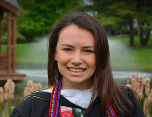 Melanie Feen will be working with Dr. Melissa Omand at the University of Rhode Island this fall. She graduated with a BA from Skidmore College in geosciences where she researched proxies for ocean carbon export. She also spent time calibrating dissolved oxygen sensors at Skidmore and at the Woods Hole Oceanographic Institution as a Guest Student.
Thank you so much to Dr. Bruce Monger for teaching the Satellite Remote Sensing course and to OCB for enabling me to attend. This experience will undoubtedly benefit my future research. Learning how to use Python to download and process satellite imagery for a range of ocean applications will be an incredibly valuable tool. I now have the skills necessary to efficiently analyze large data sets to do time-series analysis and to generate higher-level data products. Overall, the class was an excellent balance of lecture and hands on data processing exercises. Dr. Monger is a wonderful professor and I am so thankful to have had this opportunity!
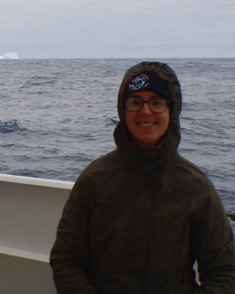 Catherine Garcia is a 3rd year PhD student in Earth System Science at the University of California, Irvine, and is advised by Dr. Adam Martiny. Currently, she is working on two projects centered on the elemental stoichiometry of phytoplankton in the Indian Ocean, and linking these findings to global predictions of plankton functional groups in the surface ocean. Prior to this, she worked as a lab manager for Dr. Jed Fuhrman’s lab at USC, continuing the San Pedro Ocean time series study of marine microbial diversity.
The Satellite Remote Sensing course could not have come at a better time for me. It was a fantastic experience, and has left me well prepared to start a project on remote sensing of plankton functional groups! Bruce Monger is a very personable instructor, who really makes an effort to foster permanent friendships and collaborations within the class. Students left with the ability to trouble shoot problems, and a thorough understanding of the various satellite product backgrounds and uses. The campus and surrounding area is really ideally and gorgeous (pun intended). I am very thankful I to OCB for the chance to participate in this program!
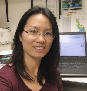 Jing Tan is a postdoctoral scholar in Scripps Institution of Oceanography. Her expertise is in satellite remote sensing, ocean optics, inverse problems, and water quality. She has over five years of experience in remote sensing and its application to water quality monitoring for rivers and lakes. As a PhD student at Purdue University, she organized and conducted in-situ water sampling, including collecting water samples and data on apparent and inherent optical properties, studied the spatial and temporal variability of water-body properties, and developed algorithms to accurately describe the biogeochemical state of the water. She was also involved in a project to determine the applicability of thermal remote sensing to studying and monitoring regional stream temperatures in the Pacific Northwest. During 2014-2016 she developed a comprehensive spectral-biogeochemical database of Midwestern rivers for water quality retrieval, and the database has been published online through the Purdue University Research Repository (PURR, doi:10.4231/R7000030).
The Cornell Satellite Remote Sensing is definitely a great experience. Basically, all the skills for dealing with remote sensing images that are needed for my research are covered. I have learned Python, Linux, and SeaDAS, sharpening my skills in image analysis. More importantly, I got to know more about NASA satellite products and felt that I am more like an “insider” than an “outsider” of the ocean color community. Bruce is a very good instructor and he was helpful and thoughtful. Ithaca is a beautiful place and you always would want to stay longer. I really appreciate this opportunity and would like to thank NASA and Cornell for providing such a wonderful course.
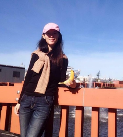 Guoqing Wang is a fourth-year PhD student working on bio-optical algorithm development with Professor Zhongping Lee at the University of Massachusetts Boston. She developed a new algorithm named Multiple Pigment Inversion model (MUPI) to retrieve not only chloropyll a but also other phytoplankton pigments from satellite remote sensing imagery. Her two main efforts involved phytoplankton pigments retrieval, and phytoplankton groups/harmful algal blooms detection. Prior to joining Professor Lee’s lab, Guoqing worked on numerous projects at South China Sea Institute of Oceanography, Chinese Academy of Sciences, focusing on instrument designing, satellite validation, and remote sensing of phytoplankton particle size distribution, and obtained her MS in Physical Oceanography at Chinese Academy of Sciences.
Every aspect of the Cornell Satellite Remote Sensing Training Program exceeded my expectations. I’m still amazed by all the materials Bruce shared with us. This is one of my best learning experiences. Bruce is such a good organizer. He made the course very inspiring and enjoyable. Bruce and the TAs are so nice, patient, and helpful. The diverse backgrounds of the students make interesting conversations happen. Two weeks were so short when we were learning with nice people in such a nice place. I’m sure all the skills about python programming I learnt from this course will be a lifelong benefit. Thank you very much, OCB and Bruce, for having me.
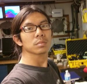 Bo Yang is a postdoctoral researcher at University of Washington. He uses oxygen data from Argo profiling floats with mass balance models to determine the net biological oxygen and carbon production in the upper ocean. He received his PhD from University of South Florida, where he studied the CO2 system in coastal waters, in the context of developing new methodology and instrument for CO2 system parameters, field observations, and chemical characterization of CO2 system behavior.
As a chemical oceanographer, although I have been using some satellite remote sensing data products for a while, I didn’t know too much about the concepts behind those products. This course is a great opportunity for me to fill this niche. It provided very useful background knowledge about the satellite measurements, data processing, algorithm development, and its applications in various oceanography studies, which will definitely help me to make better use of these data products. It also provided us a unique environment to interact with other participants of different academic disciplines.


