The Cornell Satellite Remote Sensing course, an intensive 2-week summer training course took place June 5-16 in Ithaca, NY. The goal of the course was to teach participants the basic skills needed to work independently to acquire, analyze and visualize data sets derived from a variety of satellite sensors. The course also covered image analysis methods to work with satellite imagery of 1) sea surface temperature, 2) ocean wind speed, and 3) sea surface height.
OCB supported six students to attend the 2023 course. Read about the students and their experiences below:
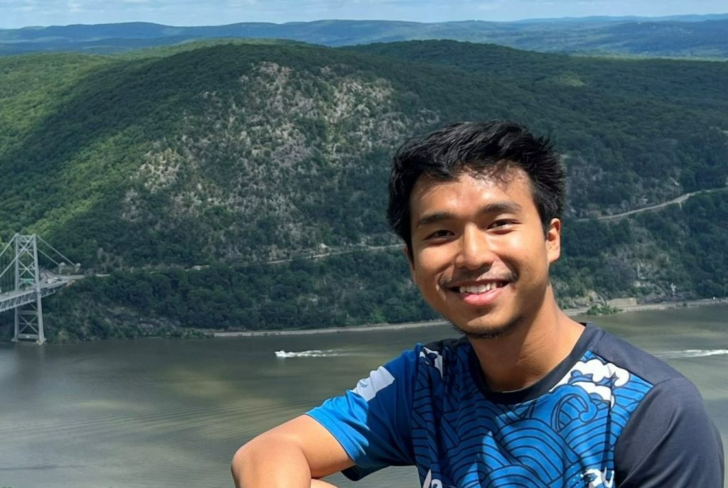
Ardian Rizal’s research interest is in the area of physical oceanography process and how it explains the interconnected system of the Earth. After graduation from his bachelor’s study in Bandung Institute of Technology, Indonesia, he became an academic assistant at the same institution. His work was to describe the wind-wave climate characteristics and its potential as a renewable energy in the Indonesian Seas. He utilized numerical simulation along with the observation from buoy and altimetry satellites to assess the model’s fidelity. Currently, he is in the 2nd year of his master’s study in the division of Marine Science at the University of Southern Mississippi. He is examining the tidal influences on the mechanism of circulation in the west Mississippi Sound as his theses project under the supervision of Dr. Jerry Wiggert.
On the course: It was a blast! The program serves as a comprehensive foundation for the acquisition, data analysis, and visualization of the imagery and altimetry satellite geophysical product. The course was delivered with a perfect balance of lectures and practical activities. I feel I can independently navigate myself to do my own project after the program. Outside of the course, there are a lot of fantastic things to do with amazing participants such as exploring the gorgeous gorges, visiting the renowned ornithology lab of Cornell, and many more. I am full of gratitude to Dr. Bruce for the amazing stories and guidance, the helpful and patient teaching assistants: Danielle and Nour, and OCB for the wonderful opportunity to participate in this course. This program is highly recommended to any marine scientists who want to do remote sensing studies or learn useful tools of Python and SeaDAS through UNIX environment for ocean studies.
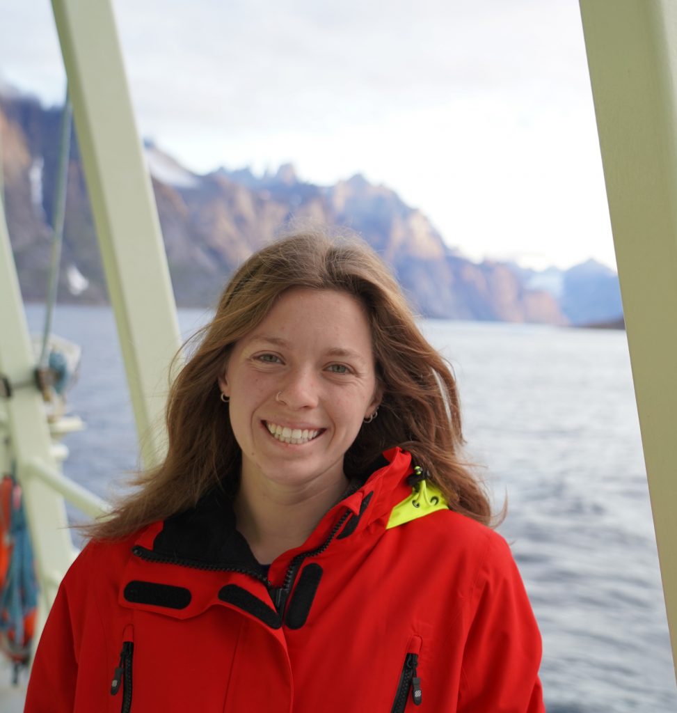
Meg Yoder is a 4th year PhD student at Boston College. Her research focuses on the biological, chemical, and physical processes that govern the flux of carbon between the surface ocean, deep ocean, and atmosphere in the subpolar North Atlantic. Her current research in the Irminger Sea uses autonomous sensor data from Ocean Observatories Initiative including pH, pCO2, oxygen, and chlorophyll, as well as lab measurements.
On the course: The Cornell Ocean Satellite Remote Sensing course opened the door to satellite data for me, and not just for ocean color but sea surface temperature, wind, and altimetry data as well. I’m excited to integrate these new data sources and compare them to the in situ data I’m currently working with. The course was extremely well structured and well taught, I can’t thank Bruce, the TAs, and OCB for their support in participating enough!
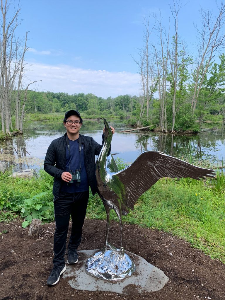
James Lin is a second-year Ph.D. student in the Ocean Processes and Analysis Laboratory at the University of New Hampshire. Advised by Dr. Robert Letscher, his current project focuses on constraining the production, age, and biochemical fate of dissolved organic carbon (DOC) based on its sources (allochthonous vs autochthonous) and sinks (abiotic vs biotic) using isotope 13C and radiocarbon (14C) in the ocean biogeochemistry component (Marine Biogeochemistry Library- MARBL) of the Community Earth System Model V2 (CESM).
On the course: I am very happy to have taken the Cornell Satellite Remote Sensing 2023 workshop. A huge thank you to Dr. Bruce Monger and the supporting staff and TAs for their mentorship and patience in learning satellite imagery with Python. Learning how to access and process satellite data, such as sea surface temperature, altimetry, chlorophyll, and wind speed, is immensely valuable in my current carbon modeling research to provide long-term observations throughout the global ocean. I also appreciate meeting and getting to know other participants from different parts of the world working on Satellite-derived observations. This training workshop is a must to become a part of the Satellite Remote Sensing community. Thank you again to Dr. Bruce Monger, the Cornell workshop staff and participants, and Ocean Carbon & Biogeochemistry (OCB) for making this workshop experience unforgettable.
Mitch Torkelson is a 2nd year master’s student in Marine Science at the University of North Carolina-Wilmington. Under the guidance of Dr. Phil Bresnahan, his research primarily centers around assessing the accuracy of the SeaHawk CubeSat in measuring key oceanic water column constituents such as chlorophyll a and CDOM. His research interests lie in the field of water quality, where he utilizes bio-optical modeling and remote sensing techniques to conduct statistical analyses on the optically-detectable particles and sediments observed in satellite imagery captured near the Masonboro inlet, situated along the North Carolina coast.
On the course: I cannot praise the Ocean Color training program led by Bruce Monger enough. Prior to enrolling in the course, my knowledge of programming and ocean color satellite analysis was basic at best. However, after completing the 2 weeks, I emerged equipped with an entire new arsenal of skills and tools that not only will aid in the completion of my thesis research but also position me for success in my future endeavors!
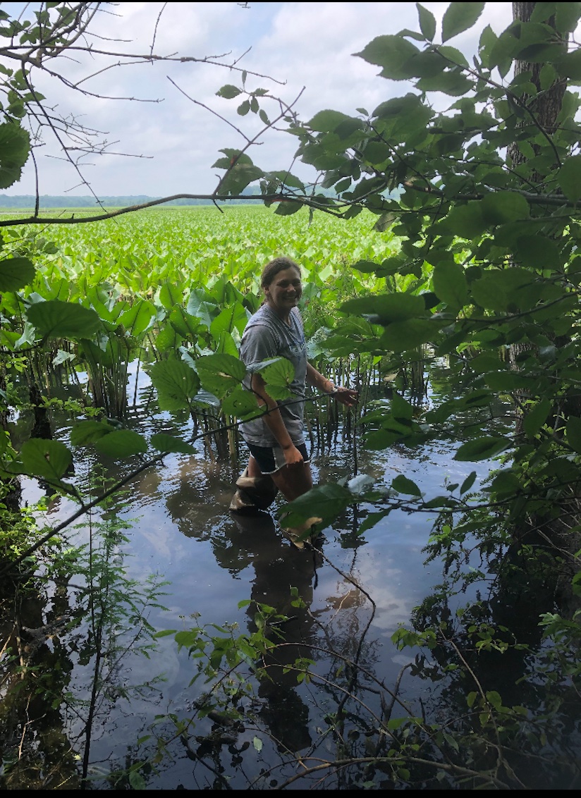
Jessie Wynne is a 2nd year Master of Marine Science Student at the University of North Carolina Wilmington and is advised by Dr. Phil Bresnahan. Her research is focused on the development of low-cost water quality sensors as well as satellite water quality analysis. Jessie will be working with SeaHawk/HawkEye imagery and chlorophyll coastal analysis.
On the course: The Cornell Satellite Remote Sensing course was a fantastic experience. It provided me with so many tools to process satellite imagery, especially ocean dolor data. This course also equipped me with python programming skills. Dr. Bruce Monger was an excellent instructor, providing thorough explanations of satellite imagery analysis algorithms while being very patient with all questions directed his way. I really enjoyed this course and would recommend it to anyone pursuing satellite remote sensing and ocean color analysis. I would like to say thank you to Dr. Bruce Monger and OCB for this amazing experience!
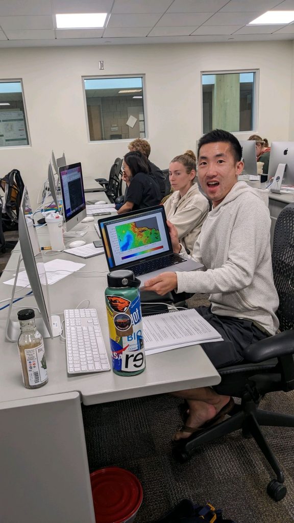
Nick Baetge is a postdoctoral scholar in the laboratories of Dr. Michael Behrenfeld and Dr. Kimberly Halsey at Oregon State University. He has been examining variability in phytoplankton physiology and bio-optical properties over the day-night cycle using cultivation-based experiments and from publicly archived in situ data. He will soon be investigating the physiological and diversity-based responses of marine phytoplankton and bacterioplankton to wildfire ash deposition off the U.S. West Coast.
On the course: It can be hard for new ocean color data users to know how to approach remote sensing analyses, including coding in a different programming language. Dr. Monger breaks down the process and provides several resources that makes it less daunting for new users to start, giving them the confidence to use Python, retrieve level 1 satellite data, process it to level 3, and generate composite imagery from individual scenes. I left the Cornell Remote Sensing workshop with not only a new set of tools that I can continue to refine and use to view the oceans, but also some wonderful new colleagues and friends. Thank you so much to Dr. Monger, OCB, and all the course participants for the opportunity to connect and learn!