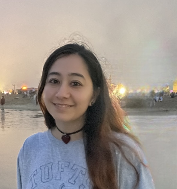


Michelle Wagner is in her first year of master’s study at the City College of New York. Her research interest is in monitoring the responses of coastal systems to natural and anthropogenic stressors. After graduating from the City College of New York, Michelle joined the Tzortziou Bio-optics lab at CCNY. Her work utilized HPLC and microscopic analysis as well remote sensing data to characterize seasonal shifts in phytoplankton community composition in the Long Island Sound estuary and increasing intensity in red tide events and other HABS.
I am very happy to have been a part of the Cornell 2024 Satellite Remote Sensing Training Program this summer. As someone who is new to the world of satellite data processing, I could not have asked for a better introduction. Dr. Monger’s strong expertise as well as his guidance and encouragement gave me the confidence to tackle hard problems. The course not only introduced me to Python programming but also provided a range of tools for handling satellite data. It significantly broadened my perspective and deepened my understanding of satellite remote sensing. I really enjoyed this course and would recommend it to anyone pursuing satellite remote sensing and ocean color analysis. I would like to say thank you to Dr. Bruce Monger and OCB for this amazing experience!
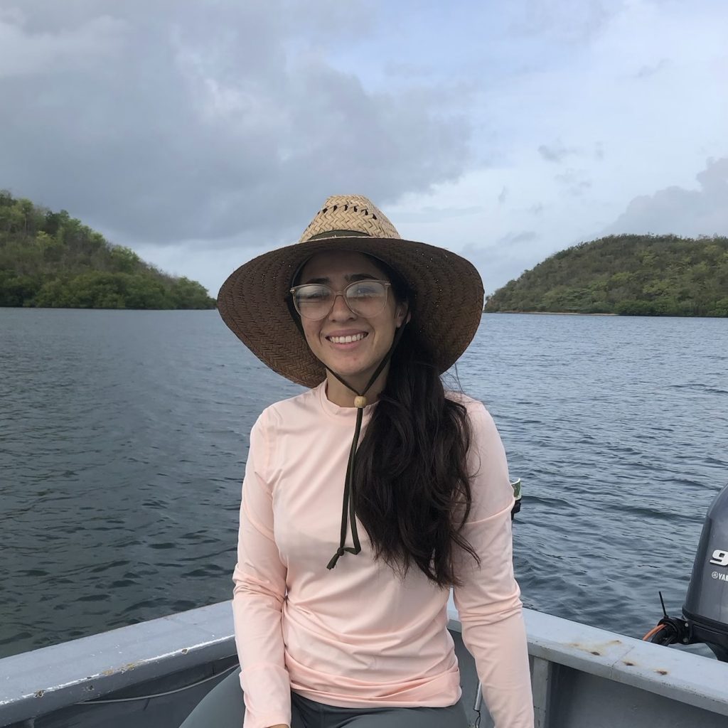
Alba Guzmán Morales was born in Arecibo, Puerto Rico. She received her B.S. in Biology and M.S. in Biological Oceanography from the University of Puerto Rico Mayagüez Campus in 2019 and 2024, respectively. Her research focused on using satellite imagery to study water clarity trends in Puerto Rico to evaluate management efforts in a watershed. As a NOAA Cooperative Science Center in Atmospheric Sciences and Meteorology Fellow, she evaluated the applicability of a NOAA Kd490 product by comparing it with in situ Kd490. She has also been involved in Unmanned Aerial Vehicle research to measure salinity.
Cornell's Satellite Remote Sensing course was what I expected and more. While I had previous experience processing satellite data the course provided me with tools I hadn’t yet had the opportunity to use in my work. It was amazing to process and visualize L1 to L2 ocean color, SST, wind, and altimetry data. I am deeply thankful to the great instructors Dr. Bruce Monger and Jillian Steinmetz, to the colleagues I met during the course as well as OCB for supporting this opportunity. Let the research continue!
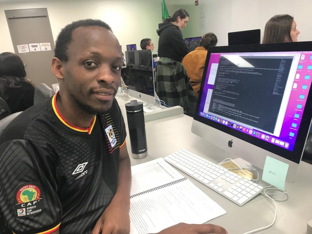
Kiwanuka Moses: I’m a second-year Earth Systems Science PhD Student working under Dr. Sridhar Maruthi Balaji Bhaskar at Florida International University. My research uses remote sensing and machine learning to estimate water quality parameters for inland lakes (Okeechobee and Victoria). The goal is to develop monitoring algorithms based on Landsat 8 OLI and Sentinel 2 MSI images. These models will be correlated with results from NASA SeaDAS software.
The Cornell Satellite Remote Sensing course was a great experience. I learned multiple ways of downloading datasets, cleaning them, and channeling them to a particular study area. I also learned how to use Python command lines for image processing using NASA SeaDAS and better understood the different components of oceanography (Physical and biological) as a field. There was a great improvement in my programming skills. I enjoyed every moment with Dr. Bruce Monger and Ms. Jillian Elaine, the TA. Their patience regarding the questions directed at them was exceptional. I recommend this course to anyone interested in remote sensing and ocean color. Special thanks to Ocean Carbon and Biogeochemistry (OCB) for the sponsorship and for making this a reality for me.
María del Alma Concepción Rodríguez's journey into water resources began during her undergraduate studies at the Polytechnic University of Puerto Rico. Earning a Bachelor of Science in Chemical Engineering and a master’s in environmental management, she immersed herself in internships and projects related to the water industry. These experiences profoundly impacted her, highlighting water's vital role as the driving force of nature and the center of life.
As she advanced to her PhD in Civil Engineering, now going into her third year, María del Alma’s passion for water conservation grew stronger. She became particularly concerned about the potential contamination from regulated wastewater disposals in the waters surrounding the Caribbean Island of Puerto Rico. This concern sparked a compelling desire to delve deeper into understanding their impacts. Her doctoral research is a testament to this dedication. It focuses on how effluent discharges affect oceanic waters and aims to develop a comprehensive evaluation methodology. María del Alma leverages innovative GIS techniques to identify contamination hotspots through spatial data analysis. Her goal is to create geospatial models that visualize current and future scenarios, providing a clearer picture of the potential impacts on our waters.
Through her work, María del Alma strives to protect and conserve our natural environment, recognizing that safeguarding water resources is not just important but essential.
Imagine learning about the intricacies of satellite remote sensing while collaborating with peers, all within the vibrant academic atmosphere of Cornell University—that was my experience in a nutshell. The 2024 Cornell Satellite Remote Sensing Summer Course was an enriching experience that deepened my technical knowledge and connected me with a network of passionate individuals in the remote sensing community. The course’s rigorous curriculum laid a strong foundation for my understanding of the field and opened my eyes to the vast remote sensing applications. We delved into the core principles of remote sensing, how the satellite data is collected, and the processing of such data using coding. Dr. Bruce Monger was an excellent instructor who guided us throughout the course while getting a better understanding of each of our investigations. Teaching assistant Jillian Steinmetz was knowledgeable and always willing to assist us. The course featured lectures and hands-on workshops where you were given exercises to work on the computer using Python and SeaDAS to understand the processing of satellite imagery. One of the most exciting moments of the course was the hands-on experience with satellite data—using advanced software to process and analyze the data and turn the raw information into meaningful insights for my PhD research. Participating in the 2024 Cornell Satellite Remote Sensing Training Program was a transformative experience that broadened my horizons and passion for using innovative technology in real-world water applications.